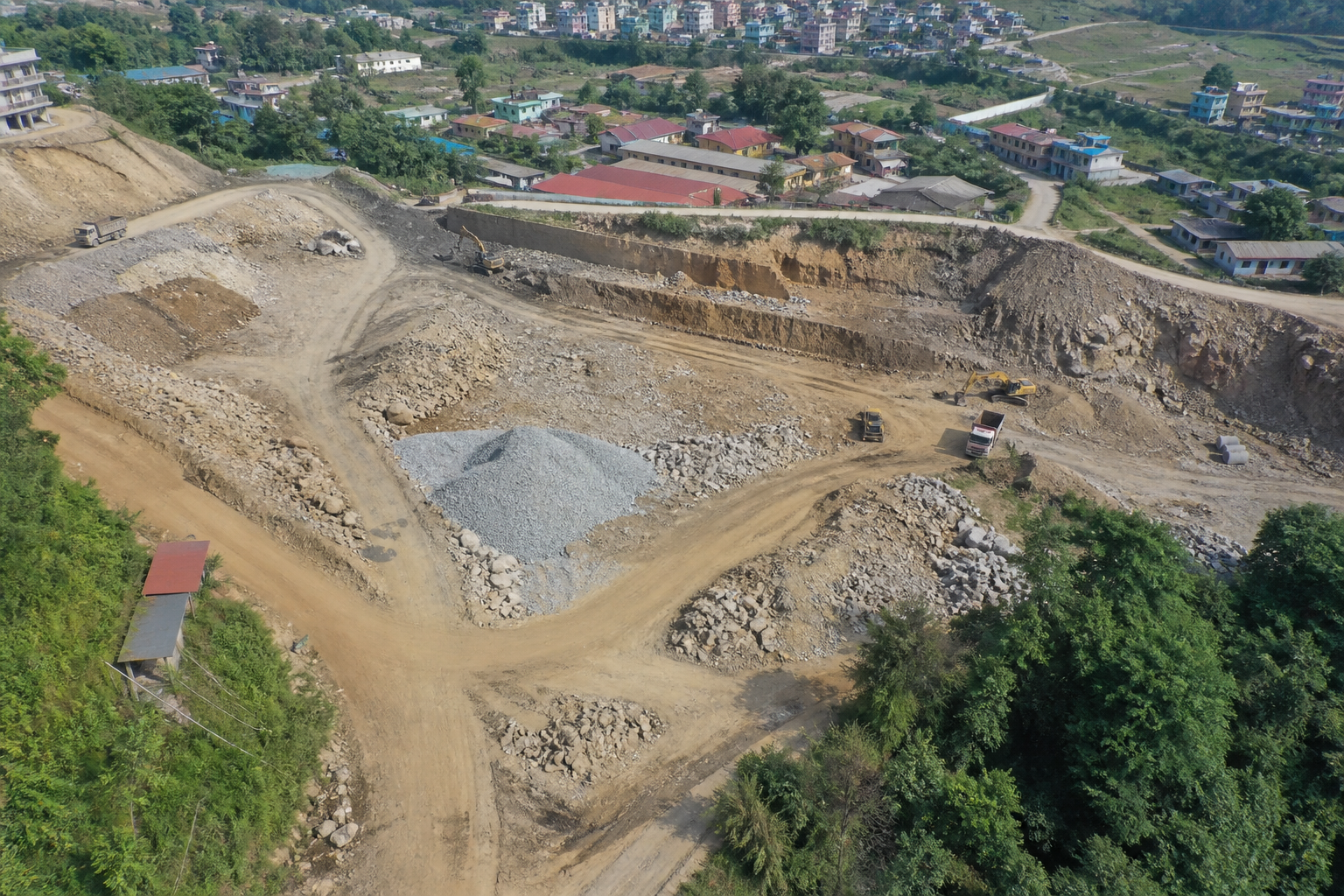
Construction & earthworks
Progress orthos, stockpile volumes, and as-built baselines so site teams can measure change without waiting on traditional survey crews alone.
Survey-grade aerial data for planners, engineers, and landowners across Nepal.
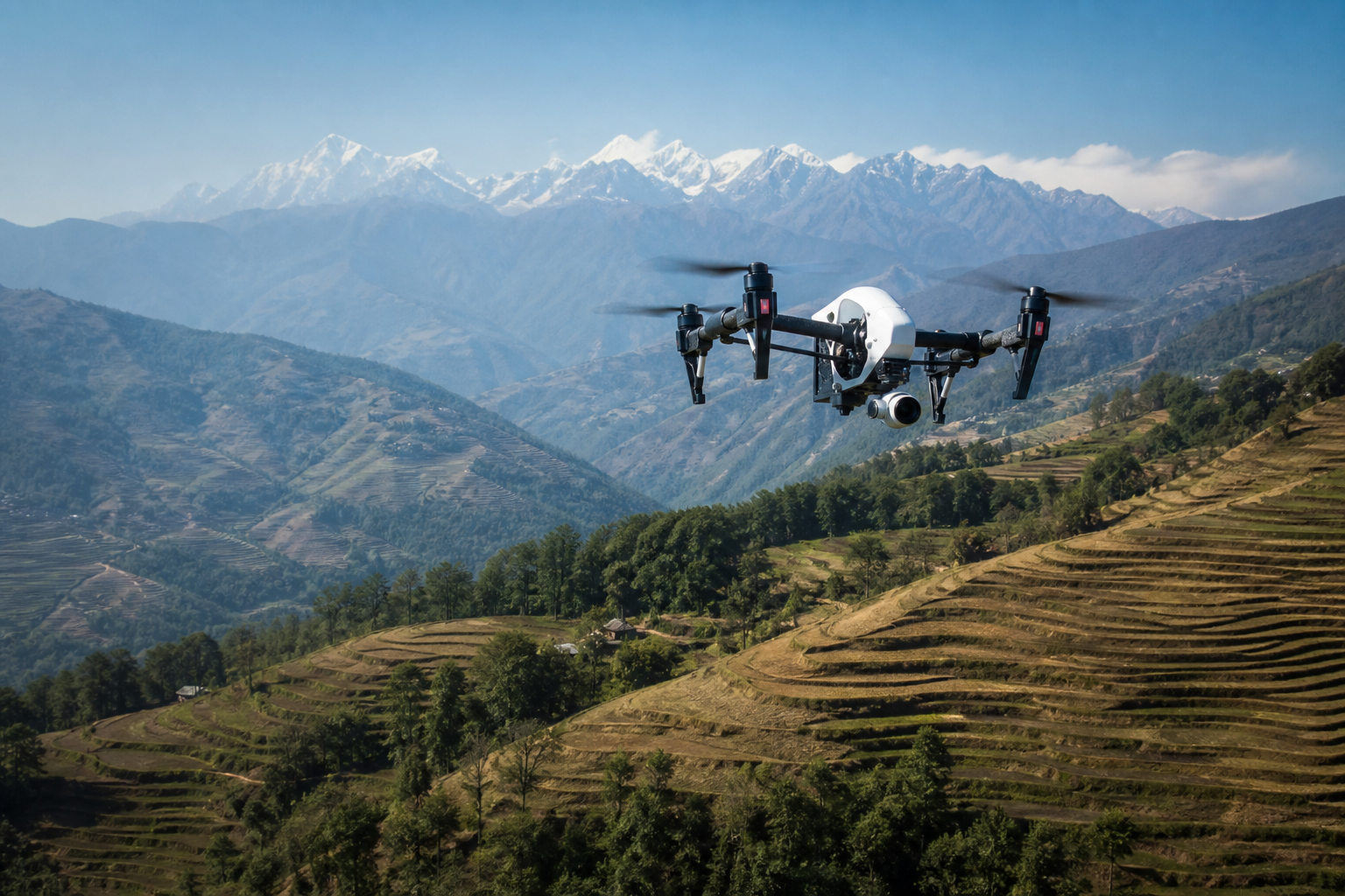
DroneShala’s mapping & surveying missions turn terrain into decision-ready maps. We fly calibrated grids over your site, process imagery with professional photogrammetry, and deliver GIS-ready outputs you can open in CAD, ArcGIS, QGIS, or Autodesk tools.
Typical work includes cadastral support, construction progress, quarry volumes, road corridors, and hydropower or infrastructure baselines — with clear accuracy expectations agreed before the flight.

Standard package for this service. Final scope is confirmed in your quote.
Common project types we support with this service in Nepal.
Progress orthos, stockpile volumes, and as-built baselines so site teams can measure change without waiting on traditional survey crews alone.
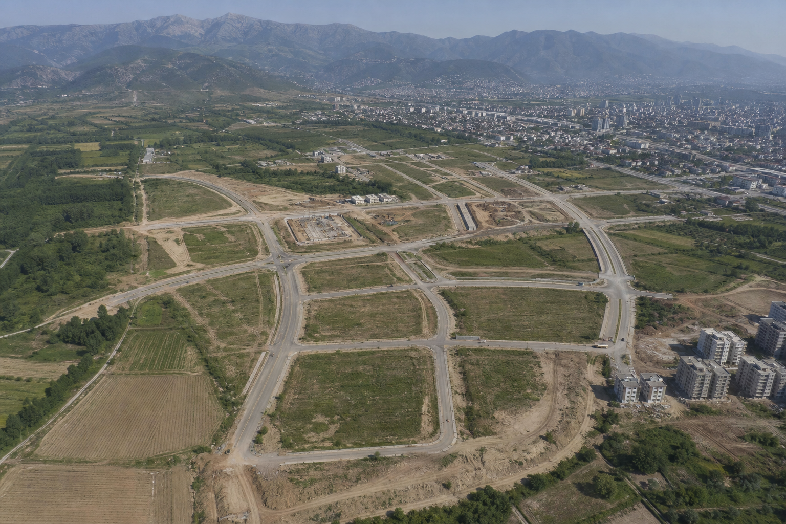
High-resolution base maps for planners, architects, and land documentation — useful alongside licensed ground survey when legal boundaries are involved.
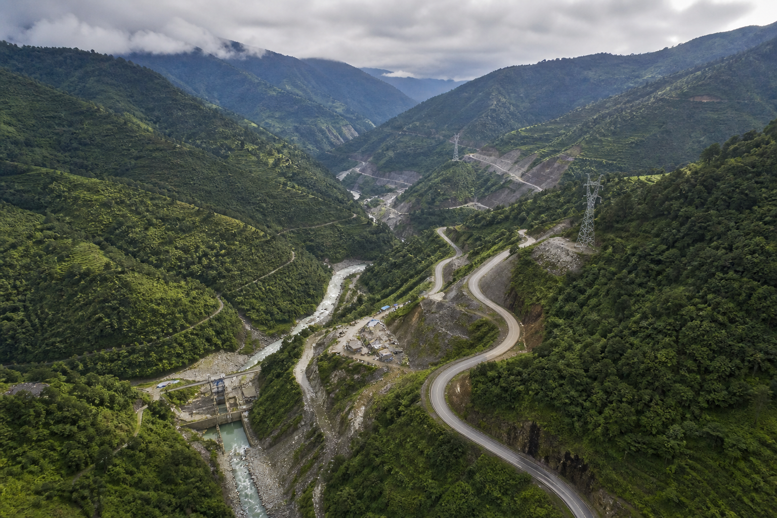
Road, transmission, and hydropower corridors mapped efficiently in Nepal’s varied terrain, with deliverables tuned to engineering handoff.
A clear path from brief to handoff.
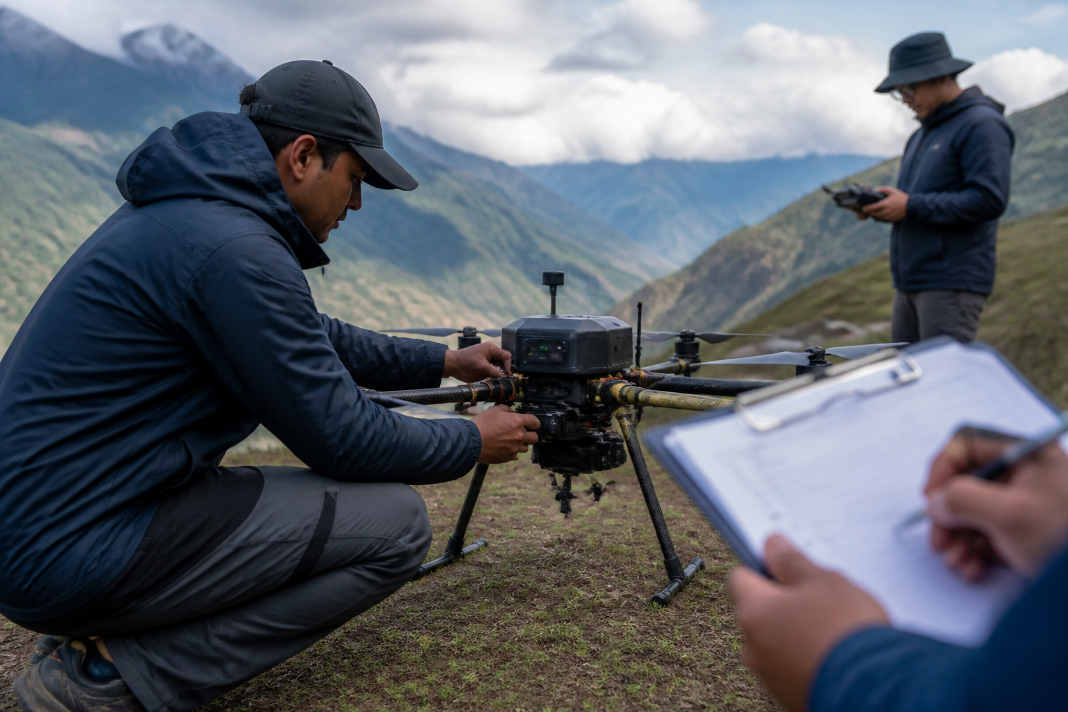
We confirm site bounds, GSD target, coordinate system, and whether RTK/GCP control is required.
Mission planning, weather window, and CAAN / site access coordination as needed.
Overlapping imagery is captured, then processed into maps, models, and volume products.
We review coverage and georeferencing, then deliver files with a short readme for your team.
Tell us the site, date, and deliverables — we reply within one business day.